Airport (XS09) Information
The Waverly Acres Airport Committee produced the following airport diagram:
(If you would like to download the file, or if the diagram does not appear below, please click here (PDF file). To print the document (if shown), on most web browsers, you can use Ctrl-P to print this page.)

Satellite image — Aerial image
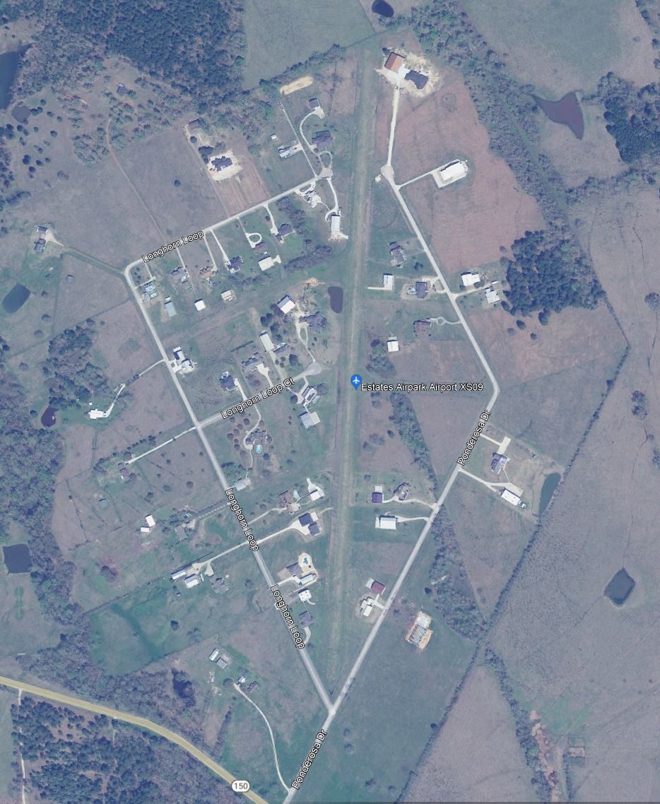
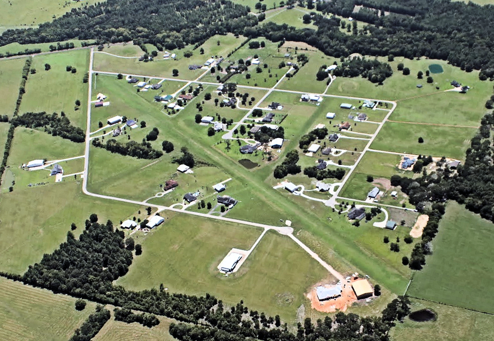
Official airport name: Estates
Other names commonly used: “Waverly Estates” / “Waverly Acres” / “New Waverly”
— From AirNav.com —
Runway 18/36
| Dimensions: | 4100 x 125 ft. / 1250 x 38 m | ||
| Surface: | turf | ||
| RUNWAY 18 | RUNWAY 36 | ||
| Traffic pattern: | left | left | |
Airport Communications
| CTAF: | 122.9 |
| WX ASOS at CXO (11 nm S): | 118.325 (936-760-4237) |
| WX ASOS at UTS (15 nm NW): | 119.425 (936-291-7997) |
Location
| FAA Identifier: | XS09 |
| Lat/Long: | 30-32-15.0000N 095-26-11.0000W 30-32.250000N 095-26.183333W 30.5375000,-95.4363889 (estimated) |
| Elevation: | 325 ft. / 99 m (estimated) |
| Variation: | 05E (1995) |
| From city: | 3 miles E of NEW WAVERLY, TX |
| Time zone: | UTC -5 (UTC -6 during Standard Time) |
| Zip code: | 77358 |
Airport Operations
| Airport use: | Private use. Permission required prior to landing |
| Activation date: | 02/1998 |
| Control tower: | no |
| ARTCC: | HOUSTON CENTER |
| FSS: | MONTGOMERY COUNTY FLIGHT SERVICE STATION |
| Attendance: | UNATTENDED |
| Wind indicator: | yes (official windsock at north end; unofficial at south end) |
| Segmented circle: | no |
You must be logged in to post a comment.